
I ended the last post saying that my vertigo was starting the night prior. Well, it was there worse when I woke up. I went to get a photo of the dogs and tilted my head back . . . pow, spinning. My stomach was also upset. IDK if it was the vertigo or eating junk with gluten a few days before or both. I wasn’t dead (and actually felt a bit better) by the time the tent and stuff were packed back in the car.

We headed back to hwy 285 from Mogote. There was an old mission church in Mogote that had burned in 1975, so I stopped to take a photo of that (San Isabel church) before we got to hwy 285. I was originally going to take a different route, but after studying the map and not feeling well, I decided to stay on the road more traveled. We were only on hwy 285 a little while before we crossed into New Mexico AND the Rio Grand del Norte National Monument. It was a mellow enough drive through rural New Mexico.
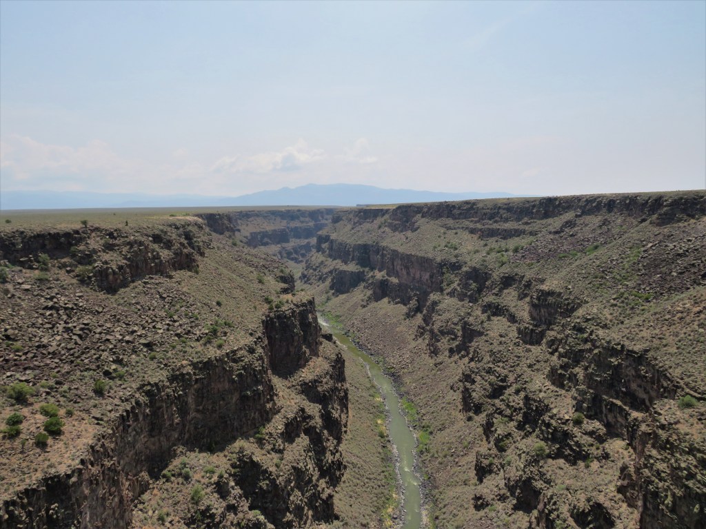
We turned left on Hwy 64 and headed toward the Rio Grand Gorge Bridge. I had seen photos of it on Facebook recently and was curious to see it. It was warm when we got out to walk – low to mid 80s. Well, this is where Moki struggled because of the crowd on the walkway on the bridge. He is so skiddish around strangers . . . so he was like a wild animal on a leash when we got close to people. Never mind the semi that decided to blow his horn on the bridge and send Moki into panic mode. I instinctively flipped him off and got the group near us laughing. Despite Moki’s struggles, I really enjoyed seeing the river. It reminded me of Navajo Bridge in Arizona a little. I was surprised that I felt as well as I did on the bridge walk.
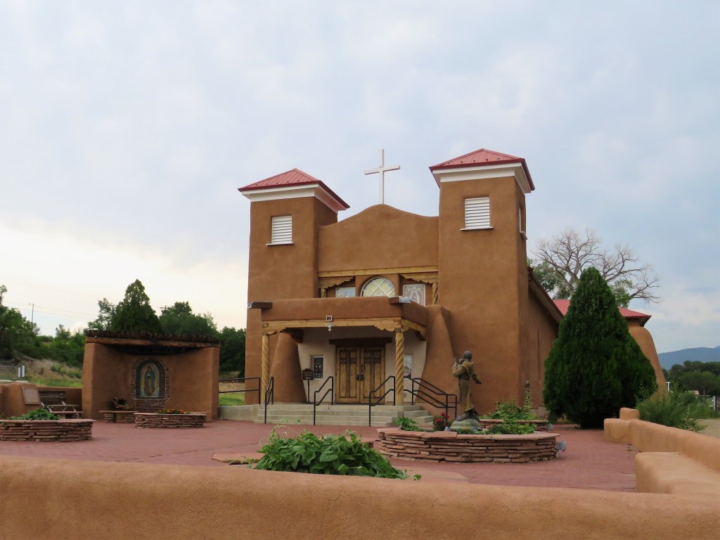
Next up was the Enchanted Circle. This was what caught my eye when I first looked at the map to plan the trip. I had never heard of it before so did some research and it looked like a fun little drive. We did the north half this day – so we turned left on hwy 522. It started flat, similar terrain as the Gorge. We passed through Rio Hondo going north – then around the circle to Questa. In Questa, we stopped at the mission church for photos. The sky was getting dark and we were clearly gaining altitude. We continued on the route to the east and up into more mountainous country. We drove through an interesting touristy town called Red River. I was mildly hungry by now (it was 2-3 PM) and thought about stopping. I really didn’t feel good enough to go to a sit down restaurant, though – so we kept going over Red River Pass and to Eagle’s Nest.

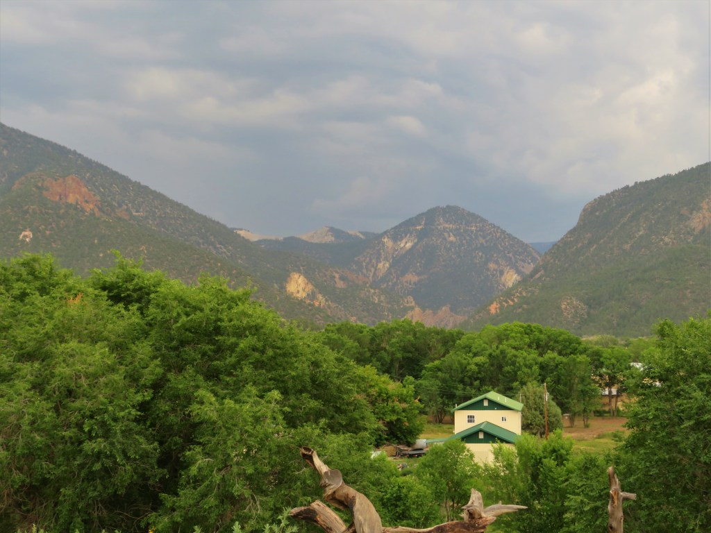
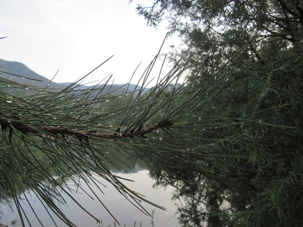
The scenery was really amazing. I stopped to take several photos and munch trail mix. Our campground was further down Hwy 64, so we drove through a winding canyon to Cimarron State Park. The sky was pretty dark by now, so I set about setting up the tent as soon as I ate the last of my trail mix. I made it just in time before the hail started – so the pups and I waited it out in the tent. The storm was mostly rain, so it was just an opportunity to read for a bit. When the sun came out, I took the dogs for a walk around the fishing lake. It was pretty – very green. Not much else happened that day. I was feeling better by the time we went to sleep and was anxious to see Taos, Truchas and Chimayo the next day. This was honestly the first time I started feeling excited to be on vacation like I usually am before I leave. Oh, and Kachina lost her cute bandana (I think at the Gorge) – so that was a bummer.
Love, GMH
