
Dear Maia, Isaac and Virtual Wanderers,
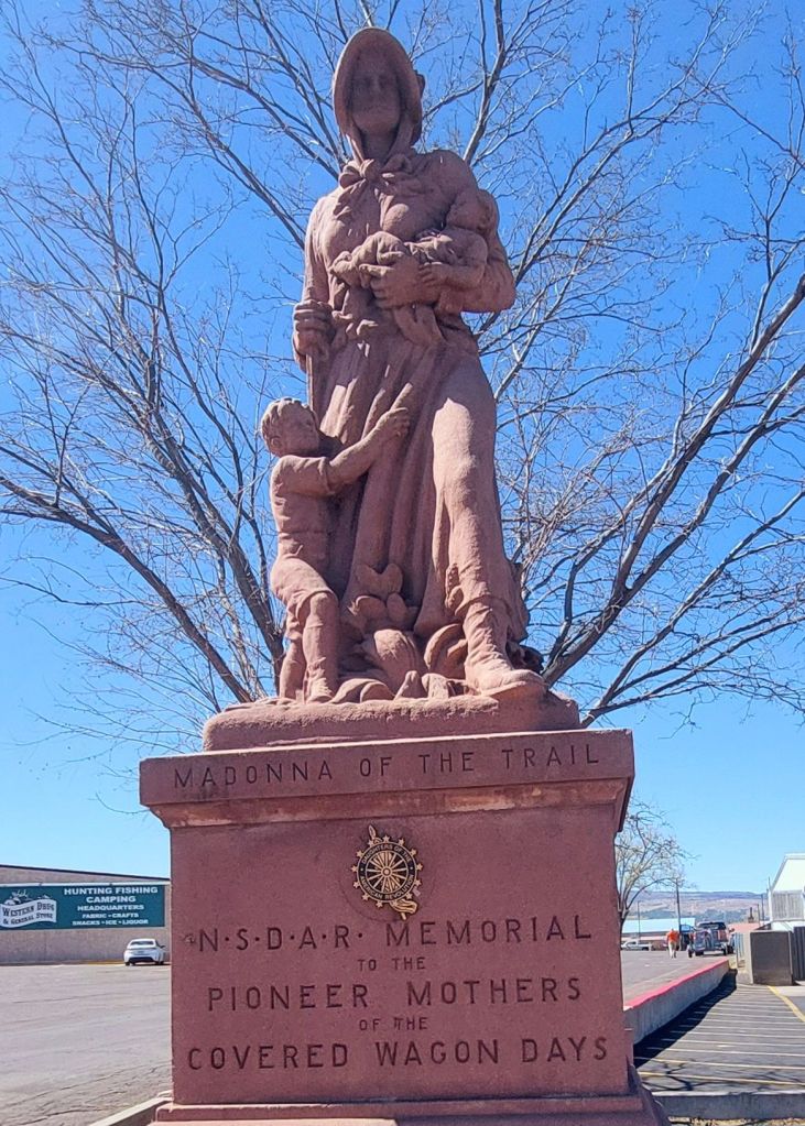
Our journey today started at the Madonna of the Trail statue in Springerville. It was about 3 blocks from our Motel, right next to McDonald’s. It seems our earliest AZ trips were routed through Springerville often enough that we have visited multiple times but not for several years. Being a nurse-midwife, I discovered her organically the first time through town.
From Springerville, we continued on US Highway 60 for another 150 miles or so. Today felt different than our trip from SocorroI yesterday mainly because the terrain changed. No more tiny roadside towns with pie.
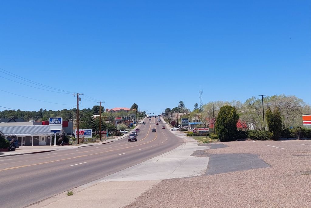
The first community after Springerville was Show Low. Named for a card game, this community is out of the grassland and into the pines. I’ve stayed here on my road trip several times but have avoided it since coming down with norovirus here in 2019.
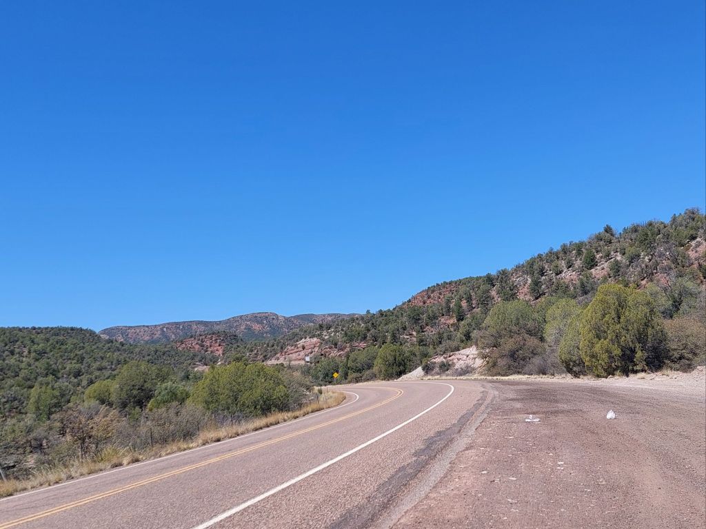
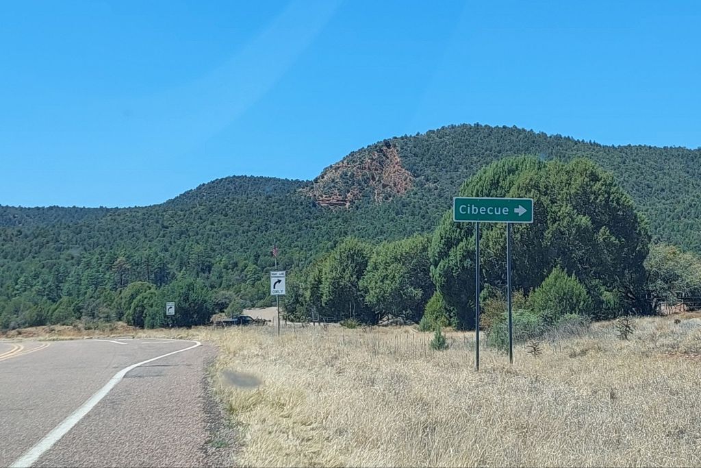
Then come smaller communities that I have never visited because they aren’t directly on the highway (and they don’t have pie signs.) I was tempted to turn off at Carrizo because it’s not too far off the road. I missed the sign, but captured the terrain. Cibeque is about 12 miles from the road.
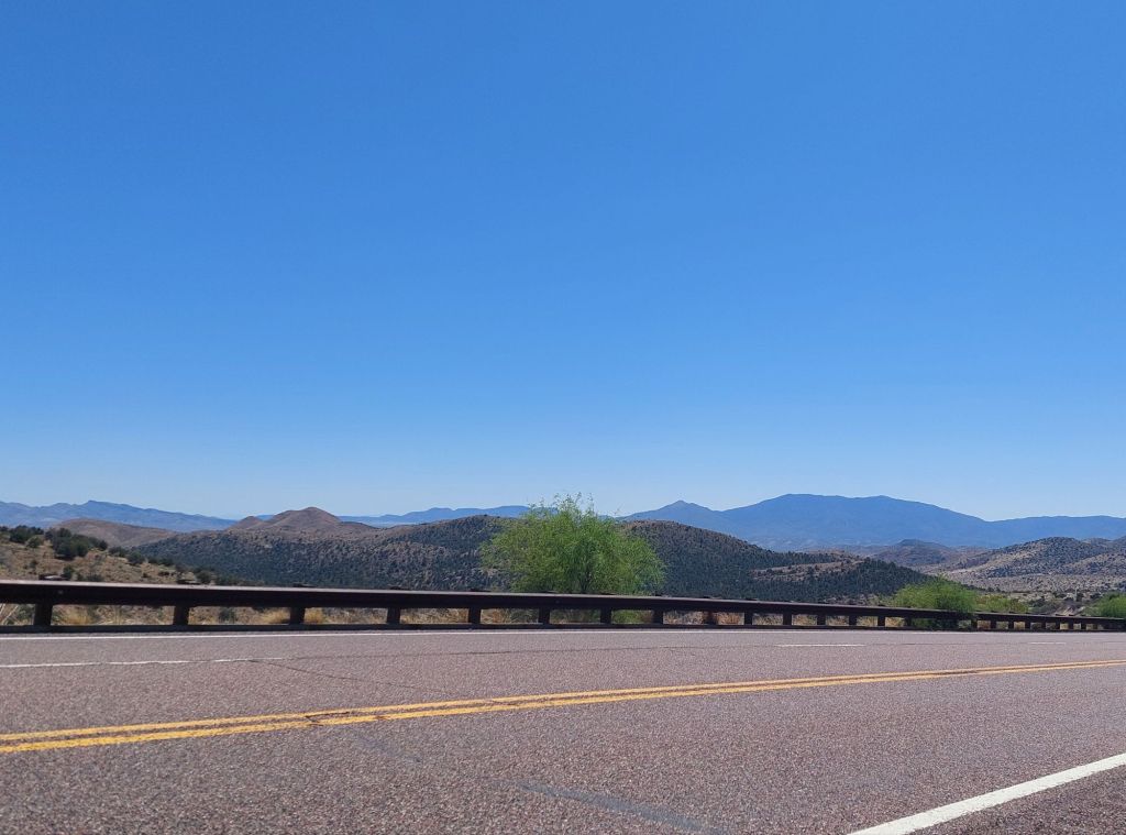
The road continues through scrubby hills and there is some wildfire damage, perhaps from the Flying V fire a couple years ago. I don’t remember seeing it last year.

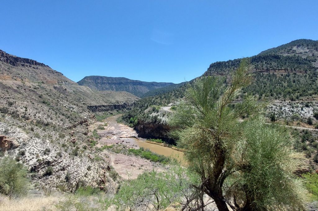
Just after that, the Salt River Canyon bursts into view. I’ll never forget the surprise the first time I drove over. I saw the switchbacks and wanted to turn around.
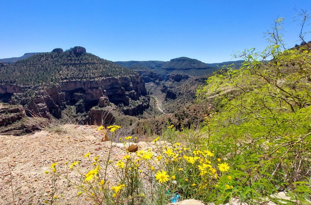

I now find it a gorgeous drive. It reminds me of the Black Canyon of the Gunnison near my home and both sit on the edge of the Colorado Plateau. There is a rest area at the bottom where you can walk across a pedestrian bridge. It always feels like the first whiff of low desert heat and the flora reflects that.

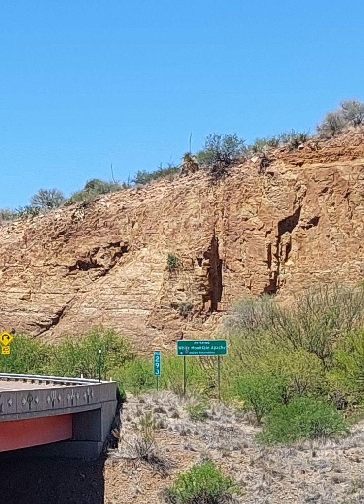
This is Apache country. It’s interesting to note that there is a different tribe on each side of the canyon.

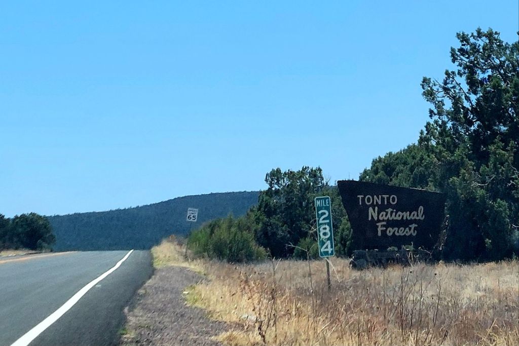
Just after that is a sign for Seneca, which appears to be abandoned buildings. Then, the road proceeds through the Tonto National Forest. About 20 miles north of Globe, glimpses of the Mogollon Rim.

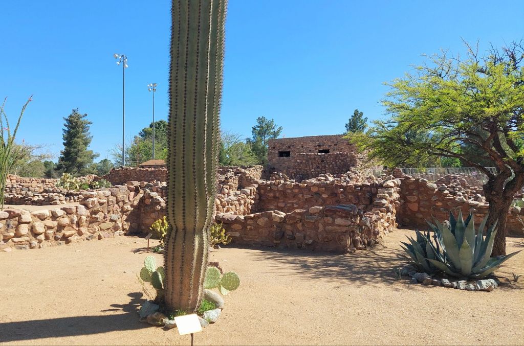
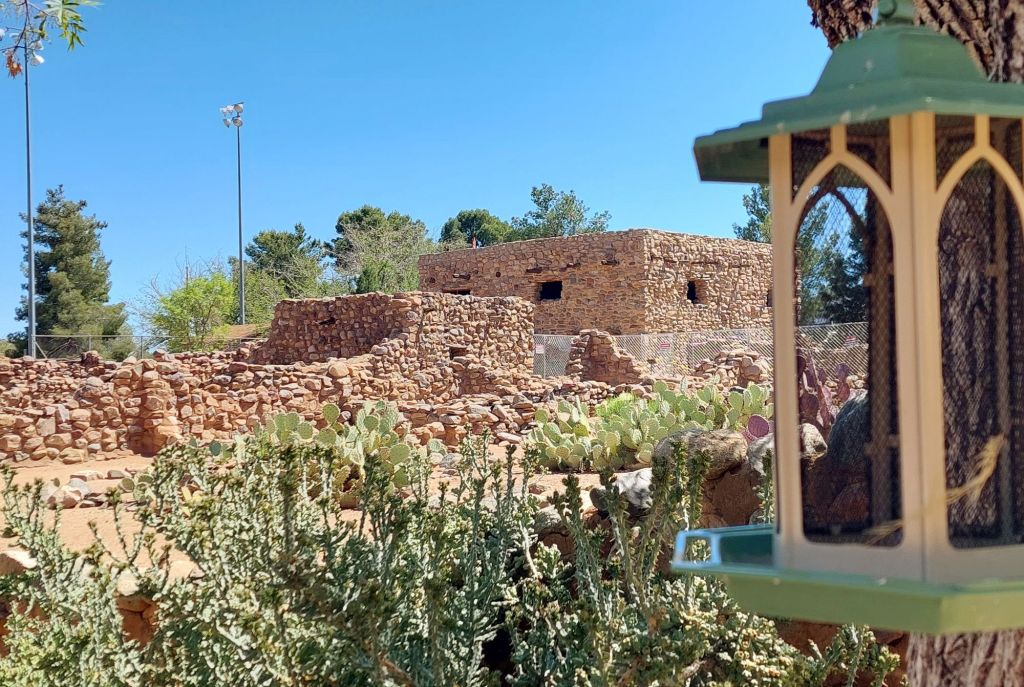
Once in Globe, we headed to Besh ba Gowah Archaeological Park. I discovered this dog-friendly, city-owned ruins site a few years back. The Salado ruins are an amazing piece of Southwestern history. What sets them apart is the amazing low desert flora.

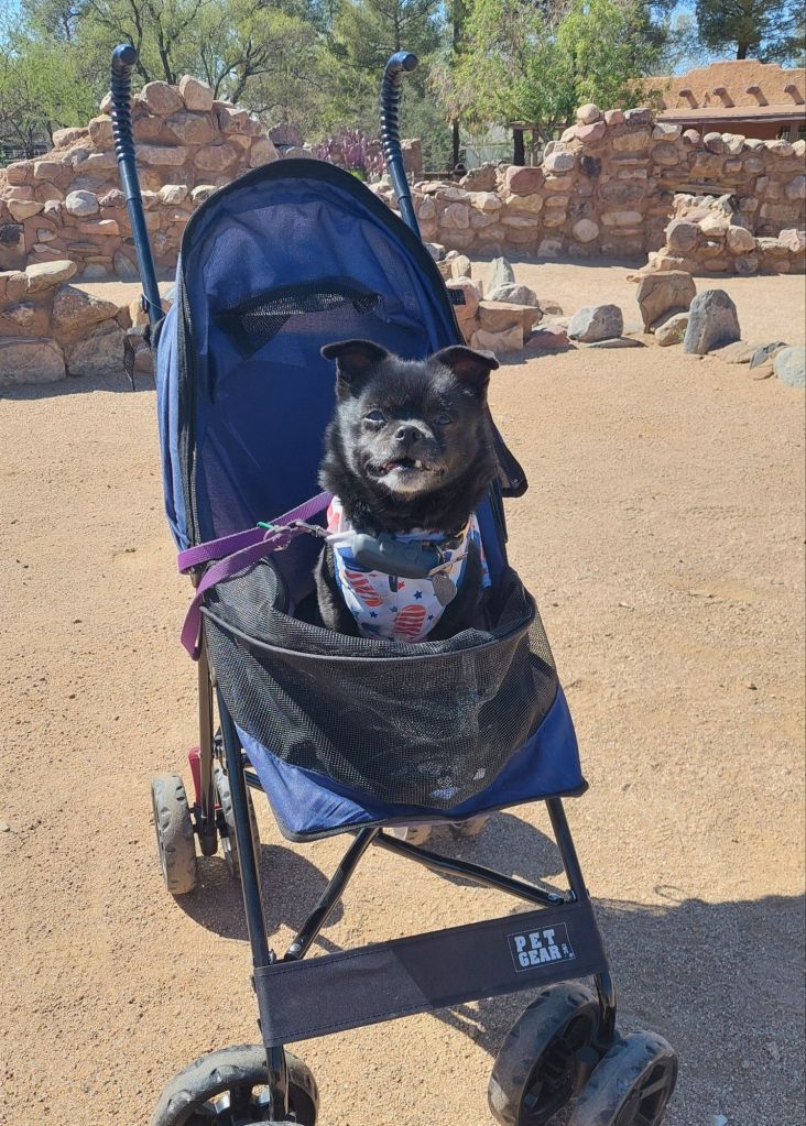
It’s definitely a first taste of summer, especially after snow on Friday and Saturday. The pups look so hot on our trips when we start the descent into the desert, so they get a ride.


I can’t say enough good about Besh ba Gowah. The museum and film are all dog-friendly. If you get to Globe, it’s a must do. One warning is the streets are anything but straight and flat. My garmin has gotten me driving in circles a couple times getting back to the highway.
Funny how the landscape and geology make Evers stop unique.
Love ya’ll, Cathy Hartt
Be sure to subscribe for updates.
